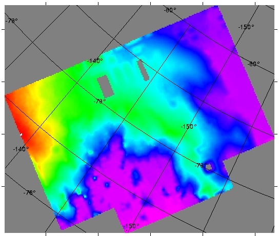
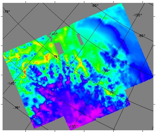
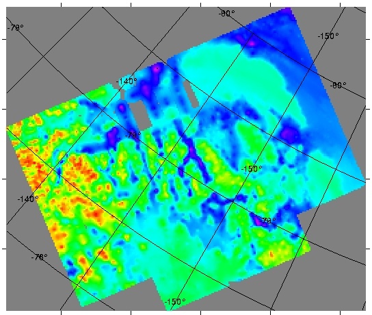
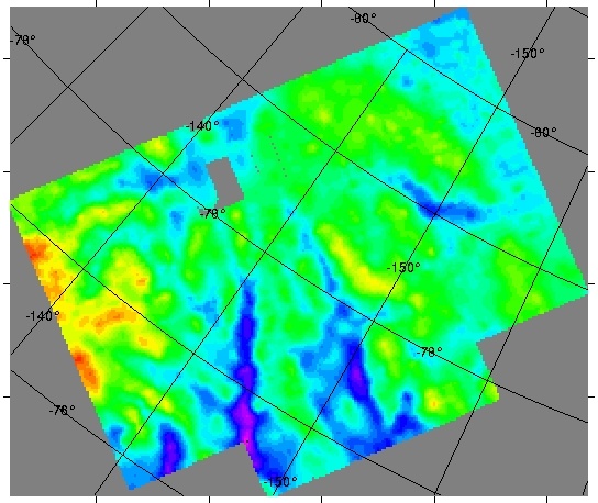
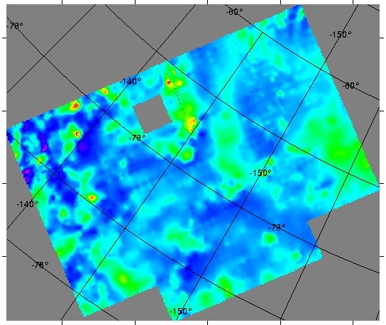
The
WMB survey was flown over Marie Byrd Land in West Antarctica. Survey transect
lines were flown with a 10.6 km line spacing over most of the survey and
a 5.3 km line spacing was flown over the western and southeastern parts
of the survey area. Fifteen
km long transect 'run-ins' and 'run-outs' were added to each line, thus
ensuring data collection to survey boundaries. Laser altimetry, ice-penetrating
radar, gravity and magnetic field intensity data were collected.This
work was funded by NSF-OPP 9319379
with the project title: Air-ground study of tectonics at the boundary
between the eastern Ross Embayment and western Marie Byrd Land, Antarctica:
Basement geology and structure, and influences on West Antarctic glaciation.
Principal investigators were Bruce L. Luyendyk, University of California
at Santa Barbara, California, and Christine H. Smith, Colorado College.
Read
me
|