
LVS
- Lake Vostok Survey |
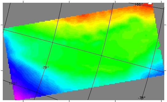
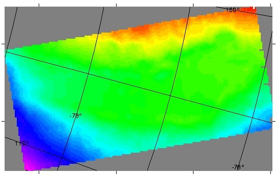
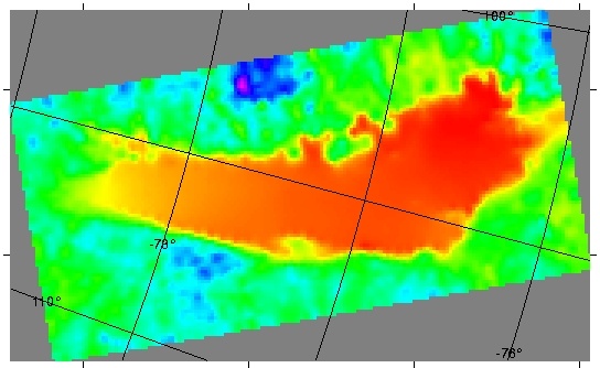
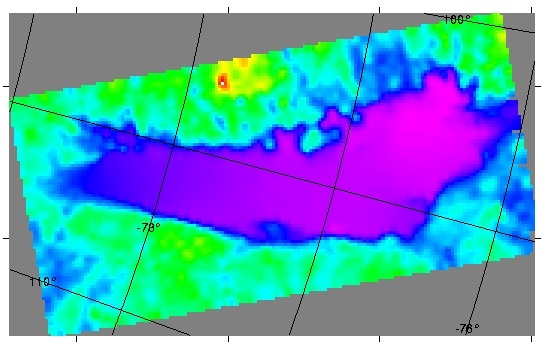
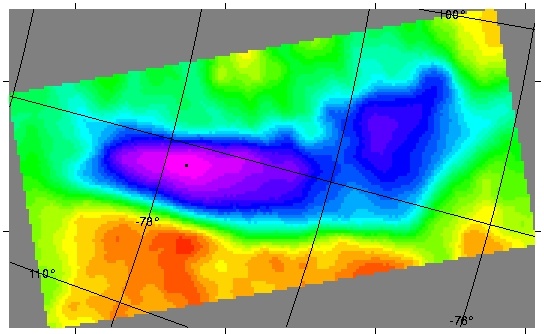
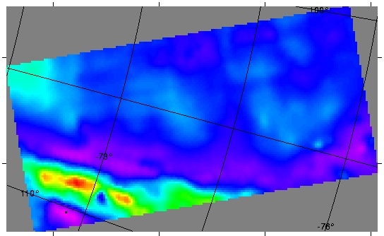
The LVS survey was flown over the Lake Vostok region in central East Antarctica. Transects were flown with a line spacing of 7.5 km for lines flown in an east-west direction. North-south oriented tie lines were flown with an 11.25 km spacing. Fifteen km long transect 'run-ins' and 'run-outs' were added to each line, thus ensuring data collection to survey boundaries. Laser altimetry, ice-penetrating radar, gravity and magnetic field intensity data were collected.This work was funded by NSF-OPP 9911617 with the project title: Understanding the Boundary Conditions of the Lake Vostok Environments: A Site Survey for Future Studies. Principal investigator was R.E. Bell; Lamont-Doherty Earth Observatory. |
|
Gridded data
|
View the Summary of Proposed Field Work.