
Weighing the Greenland ice sheet using GPS
By:
Michael Bevis
Ohio State University
| When: | Friday, March 23, 2012, 10:30 a.m. to 11:30 a.m. Join us for coffee beginning at 10:00 a.m. |
| Where: | Seminar Conference Room, 10100 Burnet Road, Bldg 196-ROC, Austin, Texas 78758 |
| Host: | Fred Taylor, UTIG |
Click for a Live Broadcast.
Abstract
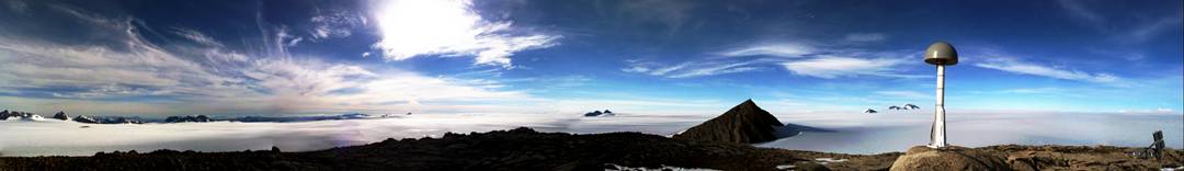
The Greenland GPS Network (GNET) uses the Global Positioning System (GPS) to measure the displacement of bedrock exposed near the margins of the Greenland Ice Sheet. The entire network is uplifting in response to past and present-day changes in ice mass. The primary objective of GNET is to "weigh" the Greenland ice sheet by measuring the earth's instantaneous elastic response to contemporary changes in ice mass, much as a traditional bathroom scale measures body mass by gauging the degree to which it can compress a spring.
Observed time series of crustal displacement are largely accounted for by invoking an annual oscillation superimposed on a sustained trend. The oscillation is driven by earth's elastic response to seasonal variations in ice mass and air mass (i.e. atmospheric pressure). The observed amplitudes of sustained vertical velocities imply that over most of the network displacement is dominated by the solid earth's instantaneous elastic response to contemporary losses in ice mass rather than postglacial (viscoelastic) rebound.
Superimposed on longer term trends, an anomalous "pulse" of uplift accumulated at many GNET stations during a ~ 6 month period in 2010. This anomalous uplift is spatially correlated with the 2010 melting day anomaly (Tedesco et al., 2011, ERL).


