
Ocean Bottom Seismometer (OBS) Facilities
An Ocean-Bottom Seismometer (OBS) is a seismometer that can be deployed on the seafloor for weeks or months, recording either earthquakes or man-made seismic signals. To withstand pressures at large depth (up to 5500 m) in the oceans, all electronics of this instrument are kept inside a glass sphere which can withstand such pressures. The sensors of all instruments (discussed below) include a 3-component accelerometer and a hydrophone, all designed for seismic data with a dominant frequency near 10 Hz. The seismic data are recorded on flash memory. Correct timing of the seismic recording is provided by an accurate clock, which also resides inside the sphere. After a seismic study on the seafloor is complete, the instrument is brought back to the sea surface using an acoustic release mechanism. UTIG has long been involved in marine seismology. The development of a UTIG OBS instrument program began in 1978. Contact Harm Van Avendonk for more information.
The Instruments
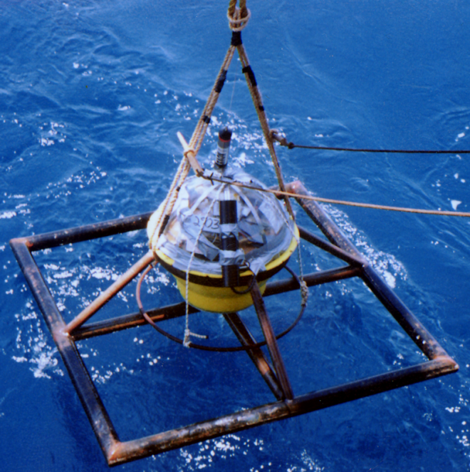
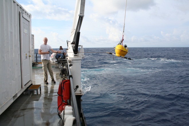
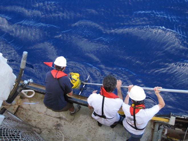
To carry out seismic refraction work on the seafloor, UTIG has developed a specialized ocean-bottom seismometer (OBS). This is a microprocessor- controlled instrument that is placed on the seafloor to record seismic signals generated by seismic sources. The OBS instrument and control electronics are contained in a glass ball (sphere) encased in a yellow polyethylene housing called a hard hat. The instrument is deployed from a surface ship, free-falls to the seafloor, and while on the seafloor detects and records seismic signals. Commercially available hard disks store the data in the instrument. Experiments may be passive, in which the energy generated by earthquakes is detected and used to create an image of the Earth's interior, or active, in which a sesimic source (i.e. sound) is generated from research ships. After the data acquisition is completed, the system receives a sound signal from a surface ship, which triggers the OBS to release itself from the seafloor and float to the surface for recovery. On board the ship, the data can be downloaded to standard computer workstations and evaluated. UTIG researchers are currently using OBS instruments in offshore seismic investigations with diverse geological/geophysical targets in many parts of the world.
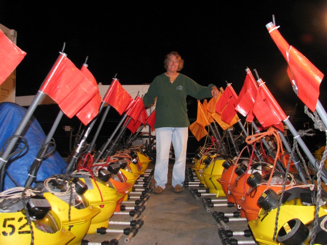
A collaboration with ORSTOM, a French government research division based in Villefranche sur Mer, resulted in the design and production of a pool of OBSs at UTIG in the early 1990s. UTIG researchers conducted 17 OBS experiments involving a total of 514 instrument deployments with this OBS from 1990-2008. Since 2007 UTIG also owns OBSs that were manufactured by the private company GeoPro GmbH, started by Professor J. Makris from the University of Hamburg. The GeoPro instrument design is functionally identical to the most recent UTIG design, but includes commercially available electronics and user-friendly/time-saving features. UTIG researchers have conducted 2 OBS experiments involving a total of 82 instrument deployments with the GeoPro OBS.
UTIG has been involved in OBS projects in diverse environments from Antarctica to Alaska, Taiwan to Barbados. Most of these investigations focused on plate-boundary processes at rifted margins, subduction zones, and mid-ocean ridges, but refraction seismology using these instruments has also proved to be an effective tool to study gas hydrates and the Chicxulub impact crater.
UTIG investigators apply seismic refraction surveying to a wide range of problems, from large-scale experiments designed to study the structure of the entire crust, to investigations of targeted geologic settings. Seismic refraction surveying utilizes seismic energy that returns to the surface after traveling through the ground along refracted ray paths. The refracting interfaces (refractors) separate layers of different seismic velocity. Sound travels at different speeds through different types of rocks and seismologists can use these data to develop detailed images of the crust and the upper mantle below the seafloor.
A sample record section from offshore Costa Rica illustrates OBS data collection.


