
WLK
- Wilkes Land Survey |
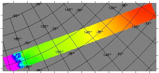
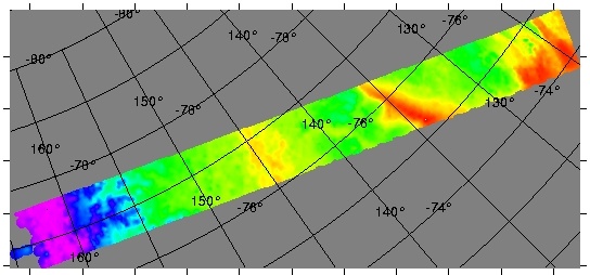
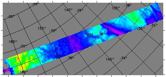
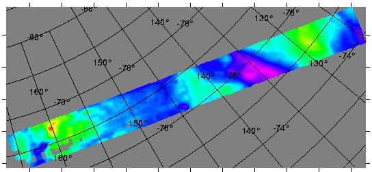
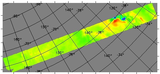
The WLK survey extended from Mcmurdo Sound over the Transantarctic Mountains to Dome C. Lines flown in an east-west direction were spaced 10 km apart with north-south oriented tie lines every 30 km. A more dense line spacing of 5 km (in the east-west direction) was flown over Dome C. Fifteen km long transect 'run-ins' and 'run-outs' were added to each line, thus ensuring data collection to survey boundaries. Laser altimetry, ice-penetrating radar, gravity and magnetic field intensity data were collected.This work was funded by NSF-OPP 9319379 with the project title Collaborative Research: Contrasting Architecture and Dynamics of the Transantarctic Mountains (Wilkes Basin Corridor/Robb Glacier Line). Principal investigators were D.D. Blankenship, University of Texas Institute for Geophysics, R.E. Bell and W.R. Buck, Lamont-Doherty Earth Observatory. |
Gridded data
|

View the Summary
of Proposed Work