
Quantifying climatic controls on landscape evolution:
Examples from Hawaii and Arizona
By:
Joel Johnson
Assistant Professor
Department of Geological Sciences
Jackson School of Geosciences
| When: | Friday, December 3, 2010, 10:30 a.m. to 11:30 a.m. Join us for coffee beginning at 10:00 a.m. |
| Where: | Seminar Conference Room, 10100 Burnet Road, Bldg 196-ROC, Austin, Texas 78758 |
| Host: | Charles Jackson, UTIG |
Click for Live Broadcast
Abstract
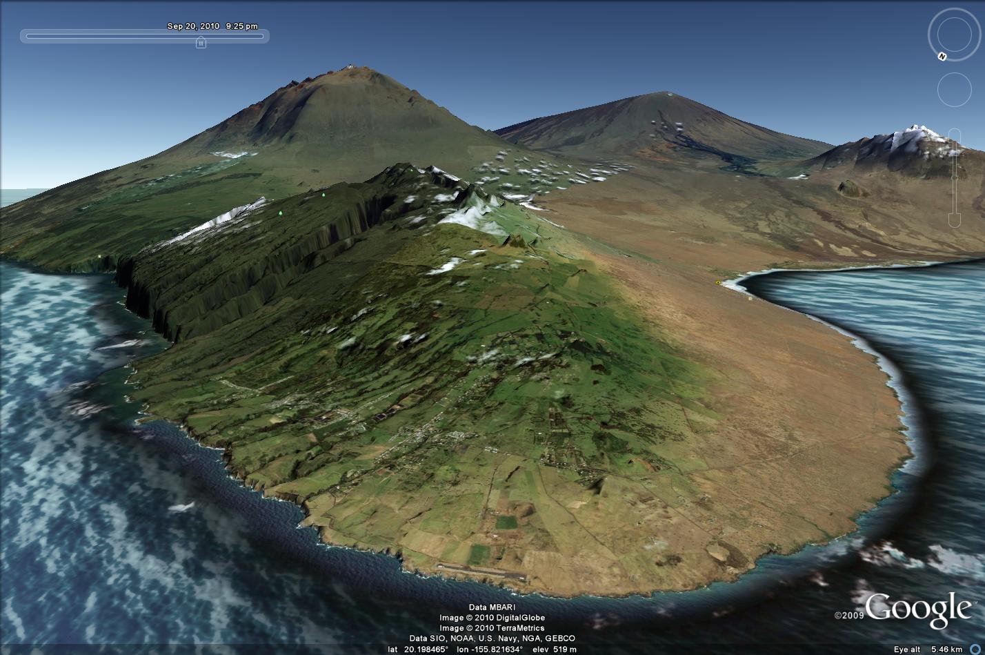
Understanding landscape sensitivity to climate is a necessary for (imperfectly) inferring the past history of external forcing from landscape form. I will present results from two ongoing projects designed to measure landscape process and form as a function of climate over very different timescales. First, mean annual precipitation varies by ~10x across the Kohala peninsula of Hawaii, and long-term river downcutting into basalt correlates with basin-averaged precipitation rate.
Future work will constrain the relative importance of direct runoff, basalt weathering, and weathering-dependent sediment production on observed river incision patterns. Second, I will present results from a 2+ year monitoring record of rainfall, runoff and soil moisture in southern Arizona. These data are compared to a record of arroyo headwall retreat to understand the sensitivity of gully erosion to weather in semiarid landscapes.


