 |
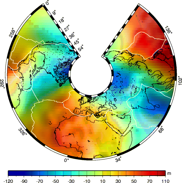
1 - Geoid height and Plate boundaries example1.ps.gz 171.1 KB | 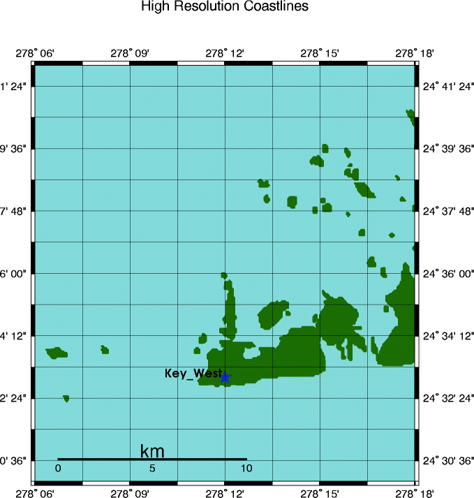 | 2 - High resolution coastlines example2.ps.gz 5.1 KB |
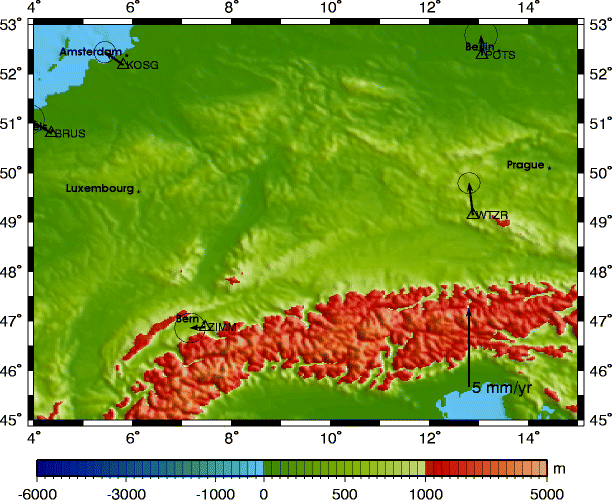 |
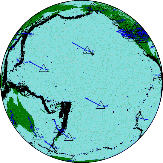
3 - Cities - GPS vectors - Topography example3.ps.gz 264.9 KB | 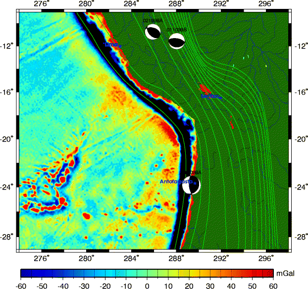 | 4 - Gravity - Slab boundaries - CMT solutions example4.ps.gz 710.3 KB |
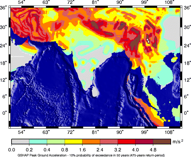 |
5 - Seismic hazard map (GSHAP) example5.ps.gz 195.1 KB | 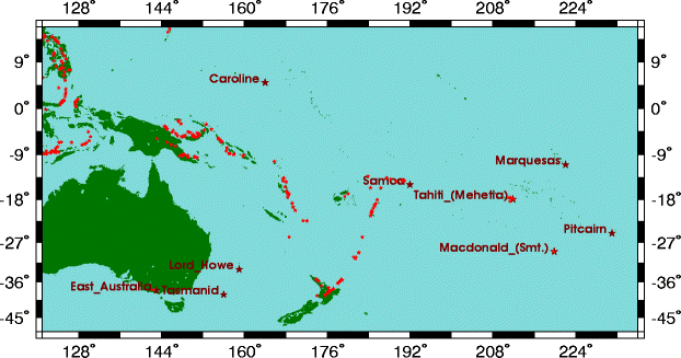 | 6 - Volcanos and Hotspots example6.ps.gz 20.3 KB |
 |
7 - Earthquakes and GPS vectors example7.ps.gz 218.3 KB | 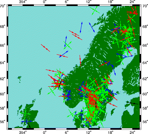 | 8 - World stress map data example8.ps.gz 24.3 KB |
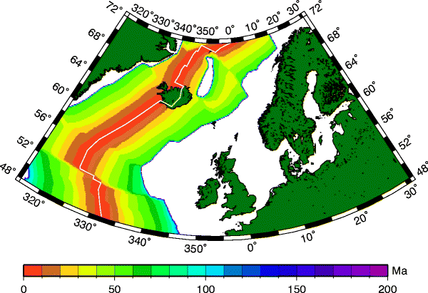 |
9 - Sea floor age example9.ps.gz 80.2 KB | 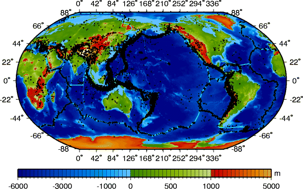 | 10 - Global Topography and Earthquakes example10.ps.gz 1135.6 KB |
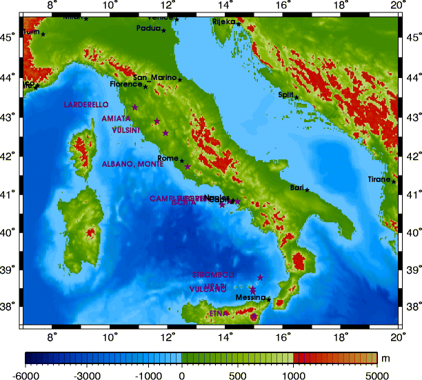 |
11 - Topography - Cities - Volcanos example11.ps.gz 75.2 KB | 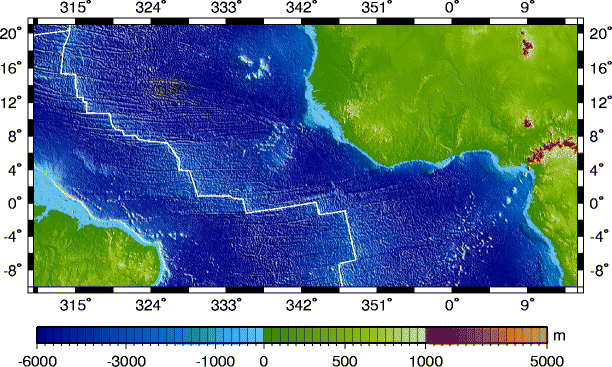 | 12 - Bathymetry and Plate boundaries example12.ps.gz 4460.2 KB |